The Byasi (Rung) People
The Byas valley is home to the Rung people, a Tibeto-Burman community with its own language and traditions. Many families migrate seasonally between summer villages and lower winter settlements.
Field report · Darchula, Sudurpashchim Province
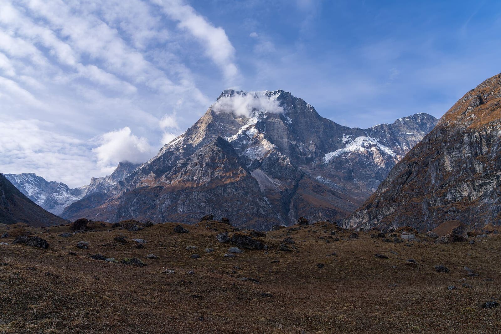
The far-west frontier where Nepal meets India and Tibet—Byas valley villages, Mahakali gorges, and the ice face of Api Himal (7,132m).
Day by day
From Darchula up the Mahakali and Chameliya valleys through Byas villages to Api Base Camp—a camped expedition in Api Nampa Conservation Area.
Api Nampa Conservation Area permit, restricted-area paperwork, and expedition briefing.
Preparation
Fully camped with river crossings and exposed trails. Expect cold nights and changeable weather near base camp.
Kit list
Kit list
Kit list
Place & people
The Byas valley is home to the Rung people, a Tibeto-Burman community with its own language and traditions. Many families migrate seasonally between summer villages and lower winter settlements.
Darchula sits where Nepal, India, and Tibet meet. The Mahakali river forms the border with India, and the old Kailash-Manasarovar pilgrimage route passes nearby.
Api (7,132m) is the highest peak in far-western Nepal and sees very few climbing expeditions. The Api Nampa Conservation Area, established in 2010, protects its surrounding forests and wildlife, including the Himalayan musk deer.
Reserve
From $2,150 USD
Small groups · private departures on request
Also in Sudurpashchim
 Far-West Meadows
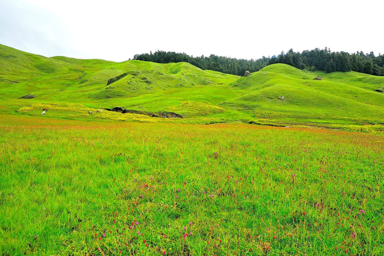
Rolling high meadows, oak and rhododendron forest, and the hermitage of Khaptad Baba—far-west Nepal's sacred grassland plateau.
$1,240
Enquire